Tsugaike Nature Park Course- TSUGAIKE NATIONAL PARK COURSE -
- ELEVATION GAIN 0m
- DIFFICULTY

- DISTANCE 0.3km
- DURATION 0hours
- AVERAGE GRADE 0.0%
SUMMARY- COURSE OVERVIEW -
Finish area is the cool heaven of wetlands and beautiful alpine flowers above the sea of clouds at the altitude of over 1800m.
SEASON : mid-June to early October
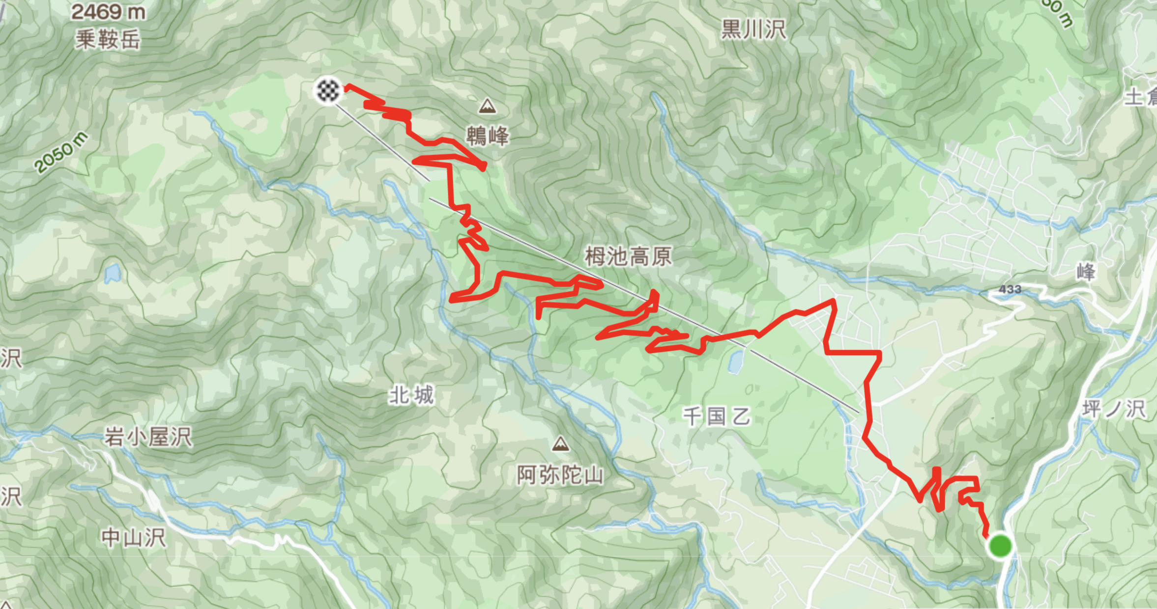
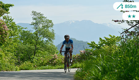
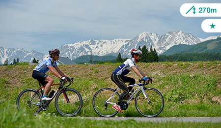
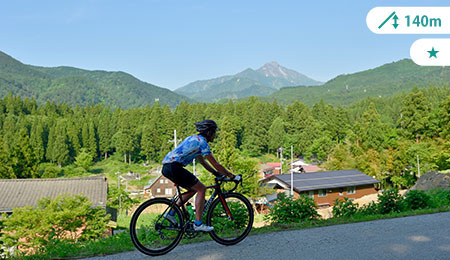
It is the popular hillclimb course used for Tsugaike "Classic" Cycle Race held in every June since 1980s. Starting from the railway station, passing through old houses and base area of ski resort, the course enters into 12km of quiet forest road within Chubu Sangaku National Park. From the several view points on the way, white-capped Northern Alps, patches of villages, and Togakushi - Myoko mountain range can be seen. After the goal line is the entrance to Tsugaike Nature Park where the beautiful alpine flowers await. 2 mountain huts at the park have cafes that serve light meal and refreshment alike.

COURSE PROFILE- COURSE MAP -
-

The panorama from the first viewpoint is the highlight of the early stage. After 2.3km of steep uphill from the start line, all of a sudden spectacular 3 mountains of Northern Alps appears in your face.
-

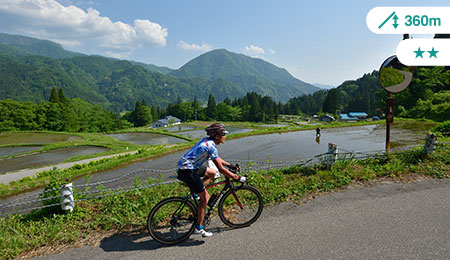
Tsugaike Panorama Ohashi is the bridge that connects the road into Hakuba village. You can access to the heart of Happo town after passing through Iwatake MTB Park. It is located off the course from 2.5km point, nevertheless, worth stopping by as the view under the bridge is as stunning as the mountains: greenery rice terrace.
-

There is a gate at 5.4km point that stops car entry except for cyclists. Cyclists can pass through both side of the gate. From there above the course is on the forest road within Tsugaike Kogen Ski Resort. When the construction work is undergoing, you may need to get off the bike once to pass through those signposts.
-

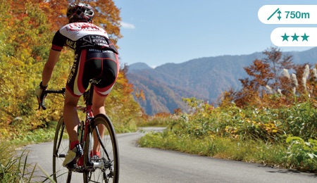
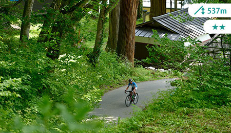
Winding road passes through the quiet forestry area in the ski resort and from the 8km point and above is protected area under Chubu Sangaku National Park. After the gate there is no much change in grade after so it is easier to make the pace once you get into the rhythm. As Gaining altitude, the sight of the mountain changes.
-

In the base area of Tsugaike Kogen Ski Resort, there are two communal onsen bathhouses: Tsuganoyu and Tsuganomori-so. It is the best way to warm the body after the long downhill.
Tsuganomori-so☎ Tel.0261-82-3300
Tsuganoyu☎ Tel.0261-71-5111 -

Tsugaike Woodchip Road is the birch forest trails off the 3.5km point. Wooden chips bedded nature trail is picturesque and perfect for a stroll especially in the autumn foliage.
-

At the 3km signpost is the Tsugaike Information Center can help you find accommodation, dining, and other travel information. English speaking staff is stationed from 8:30 to 17:00 throughout.
Tsugaike Kogen Tourist Association☎ Tel.0261-83-2515 -

Be aware of the vehicles with permission and heavy traffic for constructions works. Keep left and slow down during down hill for your own safety.
-
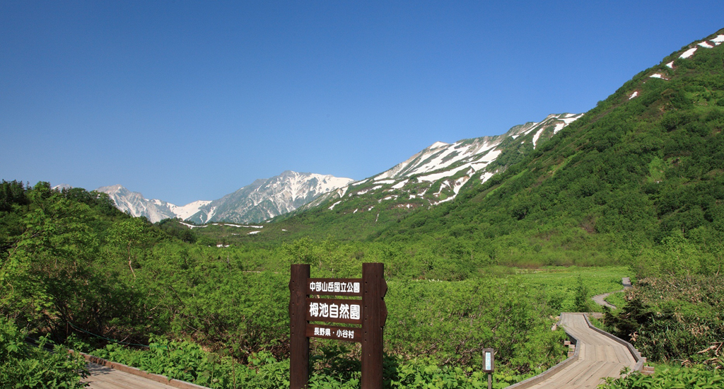
Tsugaike Nature Park is an open area with highland marsh dotted with alpine flowers, framed by magnificent view of Northern Alps. Easy boardwalk is recommended but best with hiking shoes. No bike entry after the finish line; use cycle rack at the ropeway station.
- MOVIE -
360°VIEW Movie with panoramic view in Tsugaike Nature Park Course In order to view the movie, the latest version of Chrome, Firefox, or Internet Explorer is required for PCs and YouTube application for Android or iOS for smartphones. ※Elevator gain and distance are measured by actual ride. Nevertheless the figure might be different depending on the measuring device or online map. The data should be utilized for your reference only.


